
Seat Robert - Lake District Walk
Sunday 5th November 2017
As today was the best day forecast for our three day break in the Lake District we made an early trip up the M6 in order to get at least one full day of walking in. After a 'second breakfast' at one of the service stations we were walking by 11:30 and despite the terrain managed to avoid too much bog-hopping.
Start: Wet Sleddale Reservoir (NY 5545 1140)
Route: Wet Sleddale Reservoir - Sleddale Hall - Scam Matthew - High Wether Howe (391) - Seat Robert - Glede Howe (392) - Seat Robert (393) - Sleddale Hall - Wet Sleddale Reservoir
Distance: 7.5 miles Ascent: 363 metres Time Taken: 5 hrs 15 mins
Terrain: A mixture of clear paths and pathless moorland
Weather: Sunny but bitterly cold
Pub Visited: Kirkstile Inn, Ale Drunk: Loweswater Gold

From the car park we had a good view of Seat Robert, our final summit of the day.
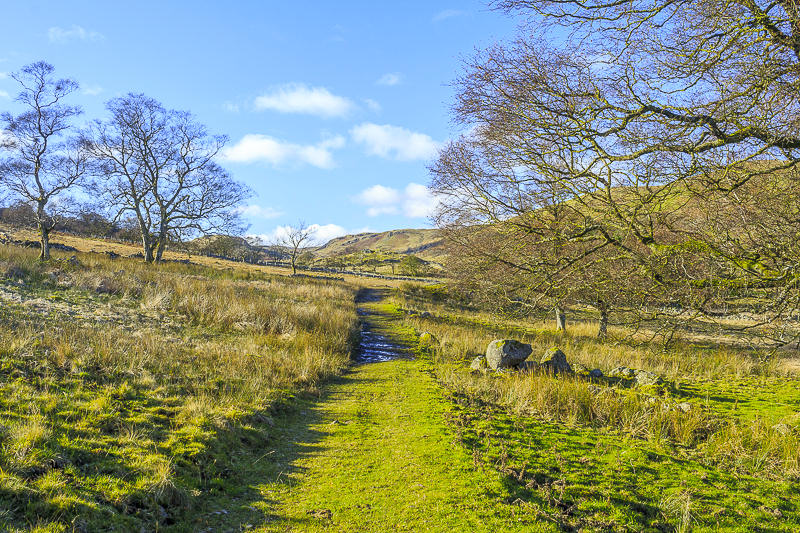
We followed the path from the car park along the bottom of the valley. Our route would take us
to the far end of the ridge on the right.
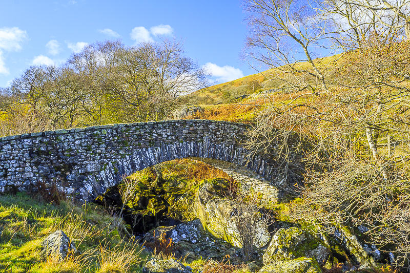
The last time we walked from Wet Sleddale Reservoir we didn't find this bridge and had the 'delight' of crossing the river via some stepping stones.
Crossing the bridge was much easier and indeed crossing via the stepping stones would probably have been impossible today.

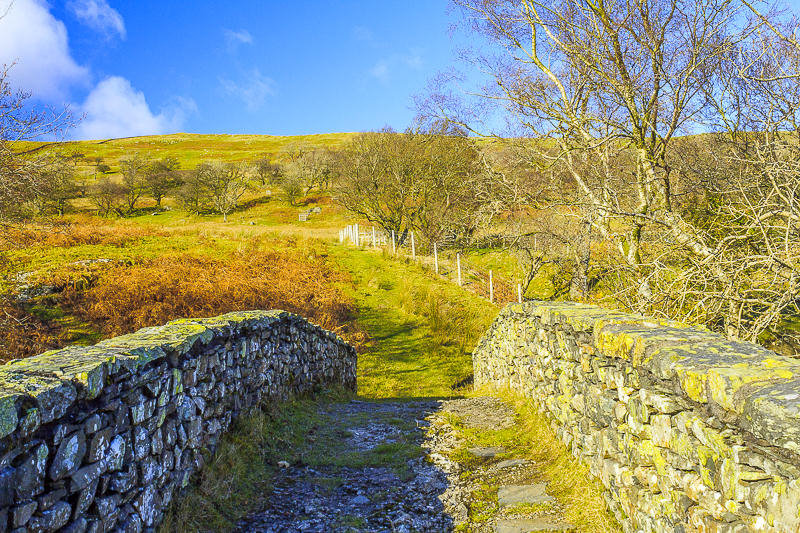
After a short climb along a clear track we were rewarded with a fine view of Sleddale Reservoir.

We soon reached Sleddale Hall which has undergone some repairs since we were last here.

We followed the clear track which continued uphill, with ever improving views.

As we climbed we were able to look across the Shap Fells towards the Howgills.

We followed the clear track along the side of the valley.

Once we crossed the second wall we had a good view of Scam Matthew, which would be our first summit of the day.

From the top of Scam Matthew we had a good view along the Mosedale Valley and beyond as far as Kentmere Pike.

A short walk in the opposite direction would take us to the rocky summit of High Wether Howe.

From High Wether Howe we had a good view of Seat Robert, with the Pennines beyond it.

Glede Howe, which was to be our next summit, was also in view.

The summit cairn on High Wether Howe, looking towards Seat Robert.

Selside from High Wether Howe.

We had lunch using the summit of High Wether Howe to try to shelter from the bitterly cold wind, whilst debating how long it would take to walk out to Glede Howe from Seat Robert.

After a short discussion we opted against crossing the moor to get to Glede Howe and instead of engaging in a prolonged session of bog-hopping followed the clear track that took us below the summit of Seat Robert.

Having reached the lower slopes of Seat Robert we try to indentify which lump is Glede Howe. It turned out to be the summit in sunlight.

Thankfully the summit was marked by a cairn, although the GPS also confirmed that this hillock was in fact the summit.

From Glede Howe's summit there was a good view across the Eden Valley to the Pennines. We played the usual game of can we spot my sister's house, but yet again failed to spot it.

Looking across Swindale Common, towards Kidsty Pike and High Raise, we were glad we changed our planned route and followed the path.

Looking across to Loadpot Hill we had a good view of the ridge which contains around seven more Birketts, which will be tackled next year.

Looking back at the route we had followed from Seat Robert as we start to retrace our steps.

We were soon back at the foot of Seat Robert and about to start the final ascent of the day.

The cairn that marks the top of Seat Robert, where we once again took shelter from the wind.

From here we had a good view of Shap.

I was able to locate the sunken trig point close to the summit.

After avoiding the bogs across Swindale Common we came across one that proved to be uncrossable just below the summit of Seat Robert. Our only option was to cross the fence and cut back down the side of the valley to regain the track we had taken at the start of the walk.

We had an easy walk back to the car, enjoying the last of the day's sunshine and the last bit of blue sky we would see for the rest of the holiday.
All pictures copyright © Peak Walker 2006-2023